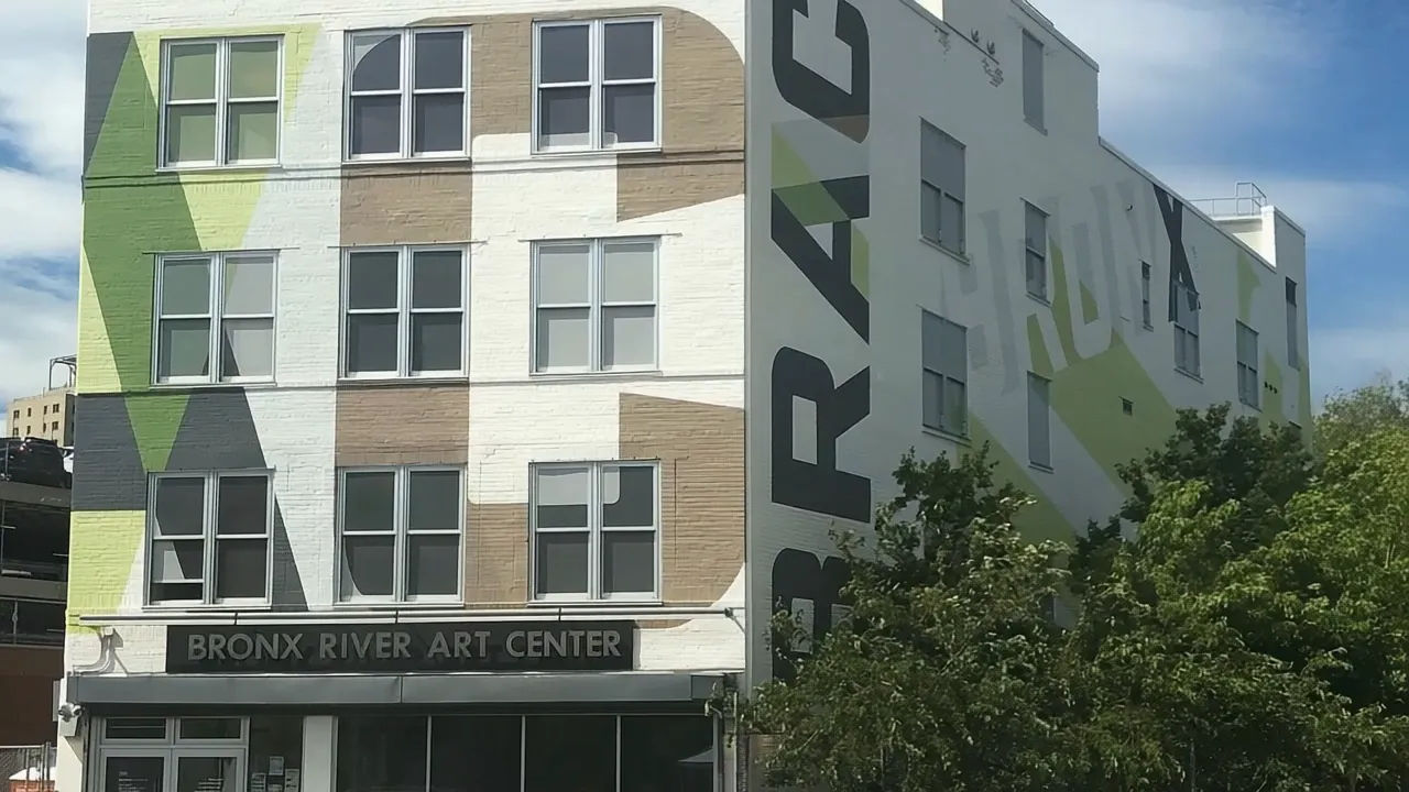
West Farms lies in the Bronx River corridor near Crotona Park East.
REGION
Bronx
LOCAL REFERENCE
Starlight Park and Bronx River Greenway
SEARCH COVERAGE
10460
Supplied ZIP search coverage: 10460. ZIP codes supplied for this search area; postal and neighborhood boundaries are not identical. Verify the individual address.
Local places and landmarks
City planning identifies Starlight Park and the Bronx River Greenway on the river side of the West Farms Road corridor.
Starlight Park offers ballfields, playgrounds, trails and Bronx River access, with River House as a river-programming reference.
Everyday travel
Check the actual pedestrian crossing and riverfront entry rather than a straight-line distance; distinguish current facilities from projects shown in old plans.
Public transport connections
Use the West Farms Sq-E Tremont Av station entrance at East 178th Street and Boston Road as one reference point when comparing routes.
Check current services, accessibility and the connection from the actual home in West Farms. Include the final walk and any onward interchange when testing the journey.
Homes and property questions
Compass Residences connects West Farms’ housing story with the conversion of a former industrial corridor toward mixed-use residential development following the 2011 rezoning. HPD’s 2021 account described the final phase at groundbreaking; check the present status of each building and any available homes.
Buy, rent or sell in West Farms
Tell us your budget, timing and property requirements.
Buy
Share your priorities and timing for a home in West Farms. Bring the address or property questions you would like to understand before deciding.
Can map proximity establish access to West Farms waterfront spaces?
No. Check the actual pedestrian crossing and riverfront entry rather than a straight-line distance; distinguish current facilities from projects shown in old plans.
Which ZIP codes are included in this West Farms guide?
This guide’s postal coverage includes 10460. Postal areas and neighborhood or municipal boundaries are different; confirm the individual property address.
What housing context should I consider in West Farms?
Compass Residences connects West Farms’ housing story with the conversion of a former industrial corridor toward mixed-use residential development following the 2011 rezoning. Compare the particular home’s access, layout and current terms.